Drought in Democratic Republic of Congo, Central African Republic, Cameroon, Eritrea, Ethiopia, Niger, Nigeria, Sudan, South Sudan, Chad
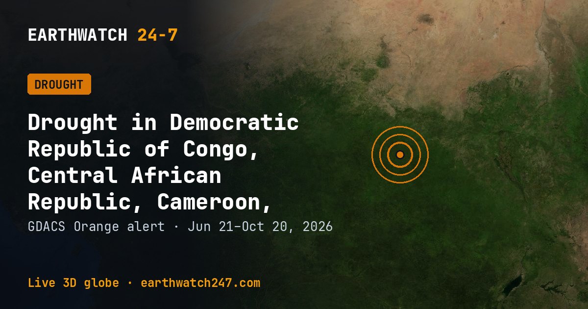
GDACS has tracked this drought in Democratic Republic of Congo, Central African Republic, Cameroon, Eritrea, Ethiopia, Niger, Nigeria, Sudan, South Sudan, Chad since June 21, 2026, 121 days as of its latest update on October 20. It carries an ORANGE alert: significant impact is possible and international help may be needed.
Detected by GDO.
What makes a drought
A drought is a long stretch of below-normal rain that leaves soils, rivers and reservoirs short of water. Unlike most disasters it creeps in over months, and its toll on crops, livestock and drinking water grows the longer it lasts.
Seen from space
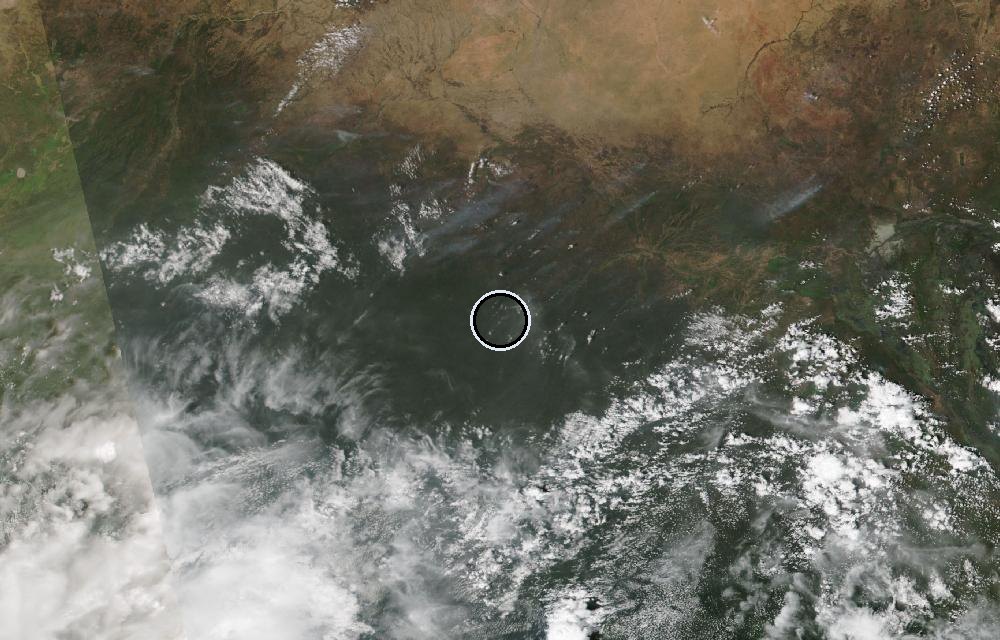
True color from the VIIRS instrument on the NOAA-20 satellite. The ring marks where the event was reported. Pictures: NASA Worldview (GIBS) from the daily satellite passes; clouds can hide the ground on some days.
GDACS report. Source: GDACS, the Global Disaster Alert and Coordination System of the United Nations and the European Commission (CC BY 4.0).
Did you know?
A creeping disaster. Drought often has no clear start or end, which is why it is sometimes called a creeping disaster.
More: floods and droughts · all events
More from around the world
- Asteroid 2025 UK9 flies past EarthOct 31, 2026
- Falcon 9 Block 5 launch: Starlink Group 15-18Oct 28, 2026
- Long March 8A launch: Unknown PayloadOct 25, 2026
- Falcon 9 Block 5 launch: Starlink Group 15-16Oct 24, 2026
- Long March 4B launch: Unknown PayloadOct 23, 2026
- Long March 6A launch: Unknown PayloadOct 23, 2026
- Falcon 9 Block 5 launch: Starlink Group 15-15Oct 21, 2026
- Electron launch: We're Not Hawking AroundOct 21, 2026