Wildfire near Xique-Xique, Brazil
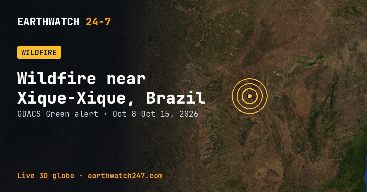
GDACS has tracked this wildfire near Xique-Xique, Brazil since October 8, 2026, 7 days as of its latest update on October 15. It carries a GREEN alert: limited humanitarian impact expected. Satellites put the burned area at 53,231 acres (21,542 hectares, 215 km²), roughly 3.6 times the size of Manhattan, or about 40,327 American football fields.
How the size is measured
GDACS estimates burned areas from satellite data, so the figures cover the whole fire complex and may include several fires burning close together.
Seen from space
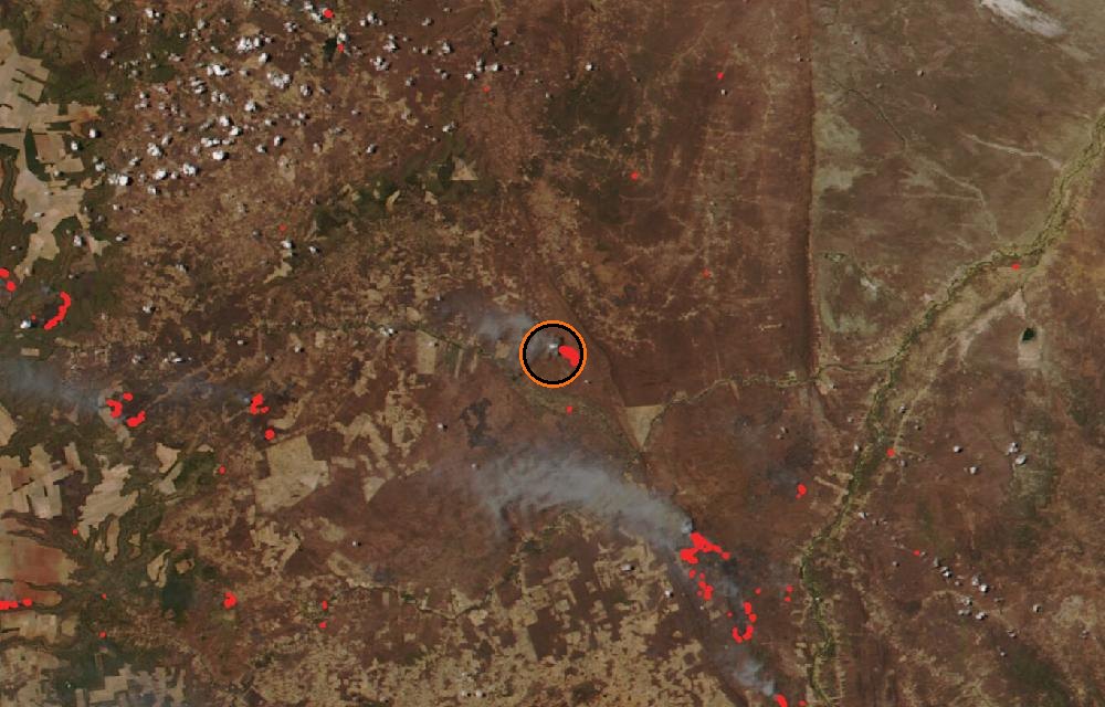
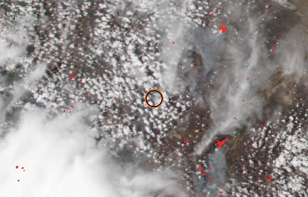
True color from the VIIRS instrument on the NOAA-20 satellite. Red dots are fires detected by their heat; smoke shows as gray-brown haze. The ring marks where the event was reported. Pictures: NASA Worldview (GIBS) from the daily satellite passes; clouds can hide the ground on some days.
Did you know?
The Big Burn, 1910. In about two days in August 1910, the Big Burn swept some 3 million acres (1.2 million hectares) of Idaho and Montana and shaped US firefighting for decades.
GDACS report. Source: GDACS, the Global Disaster Alert and Coordination System of the United Nations and the European Commission (CC BY 4.0).
More: every wildfire page · all events
More from around the world
- Asteroid 2025 UK9 flies past EarthOct 31, 2026
- Falcon 9 Block 5 launch: Starlink Group 15-16Oct 24, 2026
- Long March 4B launch: Unknown PayloadOct 23, 2026
- Long March 8A launch: Unknown PayloadOct 22, 2026
- Electron launch: We're Not Hawking AroundOct 21, 2026
- Ceres-1S launch: Unknown PayloadOct 21, 2026
- Falcon 9 Block 5 launch: Starlink Group 15-15Oct 20, 2026
- H3-24 launch: Martian Moons eXplorationOct 19, 2026