FLOOD · COPERNICUS
Flood in Alicante-Valencia Regions, Spain
Activated
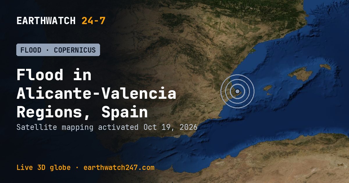
The European Union’s Copernicus Emergency Management Service began satellite mapping for Flood in Alicante-Valencia Regions, Spain on October 19, 2026, about 68 km (42 mi) northeast of Alicante. Rapid mapping is activated for major disasters: it delivers maps of flooded areas, burn scars or damage within hours to days, to guide rescue and relief.
TypeFlood
ActivationEMSR935
ActivatedOct 19, 2026
The maps and reports: Copernicus EMS activation EMSR935 (© European Union, Copernicus EMS).
Did you know?
Live pictures. Spotlight cards show real pictures of each event: live weather-satellite views, NASA fire detections, US radar, and the Sun as seen by NOAA’s GOES-19.
More: floods, droughts and disasters · all events
More from around the world
- Asteroid 2025 UK9 flies past EarthOct 31, 2026
- Falcon 9 Block 5 launch: Starlink Group 15-18Oct 28, 2026
- Falcon 9 Block 5 launch: Starlink Group 15-16Oct 24, 2026
- Long March 4B launch: Unknown PayloadOct 23, 2026
- Long March 6A launch: Unknown PayloadOct 23, 2026
- Long March 8A launch: Unknown PayloadOct 22, 2026
- Electron launch: We're Not Hawking AroundOct 21, 2026
- Ceres-1S launch: Unknown PayloadOct 21, 2026