Ahyi Seamount volcano
Ahyi Seamount, in the Northern Mariana Islands, is at Volcano Alert Level ADVISORY and Aviation Color Code YELLOW as of October 22, 2026, according to the Northern Mariana Islands. Plumes of discolored water seen in satellite imagery; no significant geophysical signals.
Seen from space
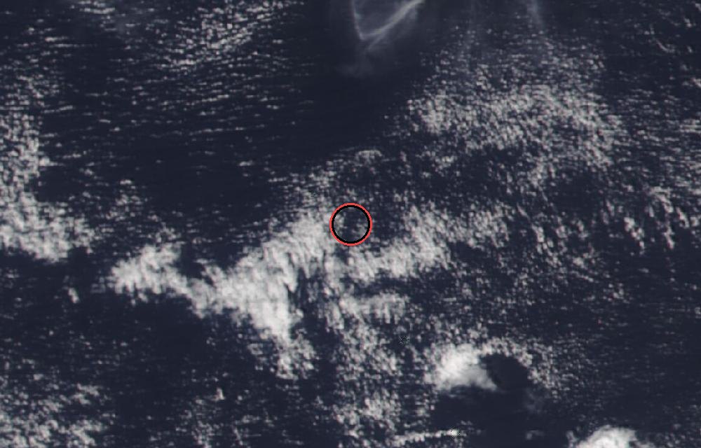
True color from the VIIRS instrument on the NOAA-20 satellite. Red dots mark heat the satellite detected, such as lava or fires. The ring marks where the event was reported. Pictures: NASA Worldview (GIBS) from the daily satellite passes; clouds can hide the ground on some days.
Latest from the observatory
Small plumes of discolored water were seen in the ocean above Ahyi on October 16 and 21 this past week. Discolored greenish water was visible drifting several hundred meters from the summit of Ahyi. These plumes are likely associated with degassing and hydrothermal activity at the summit of the underwater volcano. No notable activity was detected in distal geophysical monitoring data over the past week. Eruptive activity at Ahyi seamount may present a hazard to mariners in the water above and near the volcano. The summit has shallowed over the course of previous eruptions to 180 feet (55 m) below sea level, but the lack of local real-time data means we are unable to forecast or warn of impending eruptions. We will continue to monitor satellite and distal hydroacoustic data for additional evidence for, or escalation of, volcanic activity.
About Ahyi Seamount
Ahyi seamount is a large conical submarine volcano that rises to within 180 feet (55 m) of the sea surface about 11 miles (18 km) southeast of the island of Farallon de Pajaros (Uracas) in the Northern Mariana Islands. Water discoloration has been observed over the submarine volcano during previous periods of activity, and in 1979 the crew of a fishing boat felt shocks over the summit area followed by upwelling of sulfur-bearing water. From April 24 to 25, 2001, an explosive submarine eruption was detected seismically from a seismic station on Rangiroa Atoll, Tuamotu Archipelago. The event was well constrained (+/- 9 miles or 15 km) at a location near the southern base of Ahyi; the summit of the seamount lies within the location uncertainty. Another eruption was detected from April 24 to May 17, 2014, using data from seismometers located on subaerial volcanoes in the Northern Mariana Islands and hydrophone arrays at Wake Island. NOAA divers also reported hearing explosions while conducting coral reef research on nearby Farallon de Pajaros. The 2014 eruption of Ahyi formed a new crater near the summit of the volcano and a large landslide chute developed on its southeast flank. The most recent eruptive activity began in 2022.
How U.S. volcano alerts work
| Alert level | Color code | Meaning |
|---|---|---|
| Normal | Green | Typical background, non-eruptive activity. |
| Advisory | Yellow | Elevated unrest above known background levels. |
| Watch | Orange | Heightened unrest with a greater chance of eruption, or a minor eruption under way. |
| Warning | Red | A hazardous eruption is imminent, under way or suspected. |
The alert level speaks to people on the ground; the color code to aircraft, since volcanic ash can stop jet engines.
Did you know?
Lahars. Lahars are fast-moving mudflows of volcanic debris and water. They can travel far from the volcano along river valleys.
Official updates: USGS notice · USGS Volcano Hazards Program.
More: every volcano page · all events
More from around the world
- Soyuz 2.1b launch: Progress MS-36Nov 24, 2026
- Falcon 9 Block 5 launch: NROL-195Nov 5, 2026
- Falcon 9 Block 5 launch: Starlink Group 15-21Nov 5, 2026
- Asteroid 2025 UK9 flies past EarthOct 31, 2026
- GSLV Mk. II launch: IRNSS-1LOct 30, 2026
- Falcon 9 Block 5 launch: Starlink Group 15-18Oct 30, 2026
- Falcon 9 Block 5 launch: Starlink Group 15-16Oct 27, 2026
- M4.5 earthquake near Onagawa Chō, JapanOct 25, 2026