M4.9 earthquake near Panguna, Papua New Guinea
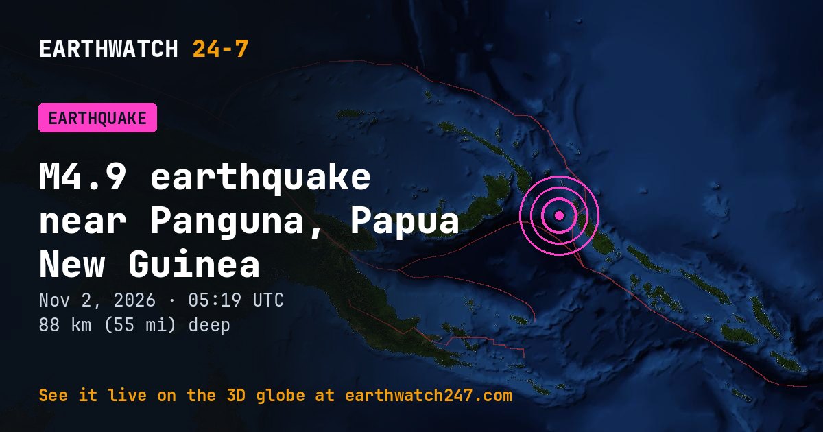
A magnitude 4.9 earthquake struck 175 km (109 mi) west-northwest of Panguna, Papua New Guinea on Monday, November 2, 2026 at 05:19 UTC, at a depth of 88 km (55 mi), according to the U.S. Geological Survey. At this intermediate depth, shaking spreads out before it reaches the surface.
1 person reported feeling it to USGS “Did You Feel It?”.
Why here?
This earthquake struck about 56 km (35 mi) from the boundary between the Pacific and North Bismarck plates. Most earthquakes happen along plate boundaries like this one, where the pieces of Earth’s outer shell collide, pull apart or grind past each other. Stress builds up over years until the rock suddenly slips. At 88 km down, it most likely broke inside a plate that is sinking into the mantle beneath its neighbor, in what geologists call a subduction zone.
The red lines on the map are plate boundaries.
How strong was it?
Magnitude is logarithmic: each whole step releases about 32 times more energy. This magnitude 4.9 released roughly the energy of 338 tons of TNT. That is about 22 times the energy of a magnitude 4.0, a quake people nearby feel but that rarely causes damage. The strongest earthquake ever recorded, magnitude 9.5 in Chile in 1960, released about 7,900,000 times more than this one.
Earthquake history here
Before this earthquake, USGS had recorded 449 earthquakes of magnitude 6 or larger within 300 km (186 mi) since 1900. The strongest:
- M8.2 · 1919 Papua New Guinea EarthquakeMay 6, 1919
- M8.1 · 1971 Bougainville EarthquakeJuly 26, 1971
- M8.0 · 1971 New Britain EarthquakeJuly 14, 1971
Official details, updates and the shaking map: USGS event page.
See every earthquake on November 2, 2026 or earthquakes by day.
More from around the world
- M4.6 earthquake near Kuril’sk, RussiaNov 2, 2026
- M4.5 earthquake near Lorengau, Papua New GuineaNov 2, 2026
- M4.5 earthquake near Yilan, TaiwanNov 2, 2026
- Tornado Warning: Texas, OKNov 2, 2026
- Tornado Warning: Hartley, TX and Oldham, TXNov 2, 2026
- M4.5 earthquake near Muroto-misakicho, JapanNov 2, 2026
- M5.1 earthquake in the Kermadec Islands regionNov 2, 2026
- Electron launch: The Sea God SurveysNov 2, 2026