Great Sitkin volcano
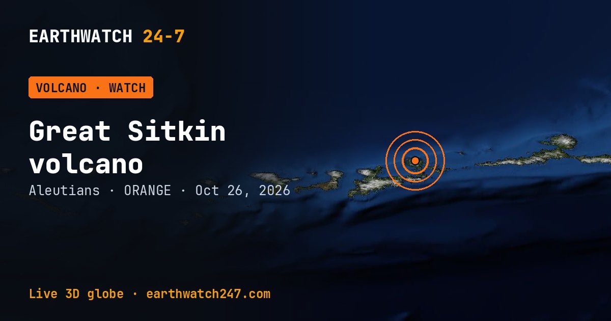
Great Sitkin, in the Aleutians, is at Volcano Alert Level WATCH and Aviation Color Code ORANGE as of October 25, 2026, according to the Alaska Volcano Observatory. Slow eruption of lava within the summit crater continues.
Seen from space
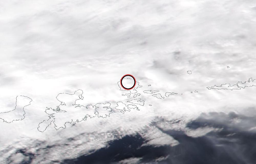
True color from the VIIRS instrument on the NOAA-20 satellite. Red dots mark heat the satellite detected, such as lava or fires. The ring marks where the event was reported. Pictures: NASA Worldview (GIBS) from the daily satellite passes; clouds can hide the ground on some days.
Latest from the observatory
Lava continues to erupt slowly within the summit crater of Great Sitkin Volcano. A few small earthquakes were detected in the past day. Cloudy conditions obscured satellite views over the past day. The current eruption began in July 2021. Since then, lava flows have filled most of the summit crater and advanced into valleys below. There have been no explosions at Great Sitkin Volcano since an event in May 2021. The volcano is monitored using local seismic and infrasound sensors, satellite data, webcams, and regional infrasound and lightning networks.
About Great Sitkin
Great Sitkin Volcano is a basaltic andesite volcano that occupies most of the northern half of Great Sitkin Island, a member of the Andreanof Islands group in the central Aleutian Islands. It is located 26 miles (42 km) east of the community of Adak. The volcano is a composite structure consisting of an older dissected volcano and a younger parasitic cone with a ~1 mile (1.6 km)-diameter summit crater. A steep-sided lava dome, emplaced in the crater during an eruption in 1974, has been mostly buried by the ongoing eruption. The 1974 eruption produced at least one ash cloud that likely exceeded an altitude of 25,000 ft (7.6 km) above sea level. A poorly documented eruption also occurred in 1945, producing a lava dome that was partially destroyed in the 1974 eruption. Within the past 280 years a large explosive eruption produced pyroclastic flows that partially filled the Glacier Creek valley on the southwest flank.
How U.S. volcano alerts work
| Alert level | Color code | Meaning |
|---|---|---|
| Normal | Green | Typical background, non-eruptive activity. |
| Advisory | Yellow | Elevated unrest above known background levels. |
| Watch | Orange | Heightened unrest with a greater chance of eruption, or a minor eruption under way. |
| Warning | Red | A hazardous eruption is imminent, under way or suspected. |
The alert level speaks to people on the ground; the color code to aircraft, since volcanic ash can stop jet engines.
Did you know?
Pacific volcanoes. About three-quarters of Earth's active volcanoes lie around the Pacific Ocean, along the Ring of Fire.
Official updates: USGS notice · USGS Volcano Hazards Program.
More: every volcano page · all events
More from around the world
- Soyuz 2.1b launch: Progress MS-36Nov 24, 2026
- Falcon 9 Block 5 launch: NROL-195Nov 5, 2026
- Falcon 9 Block 5 launch: Starlink Group 15-21Nov 5, 2026
- Asteroid 2025 UK9 flies past EarthOct 31, 2026
- GSLV Mk. II launch: IRNSS-1LOct 30, 2026
- Falcon 9 Block 5 launch: Starlink Group 15-18Oct 30, 2026
- Falcon 9 Block 5 launch: Starlink Group 15-16Oct 27, 2026
- Kilauea volcanoOct 25, 2026