Kilauea volcano
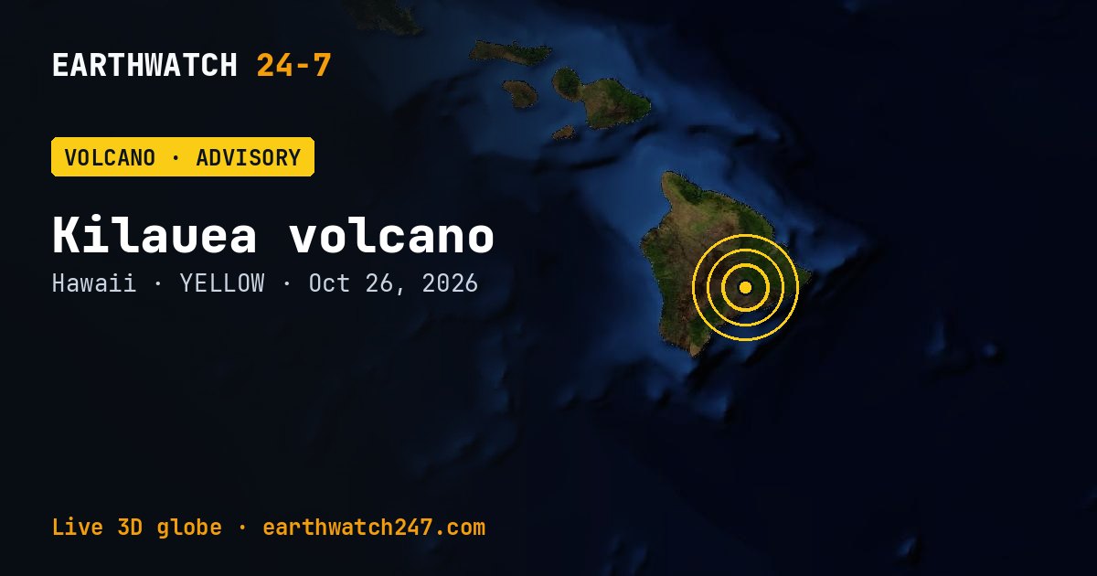
Kilauea, in Hawaii, is at Volcano Alert Level ADVISORY and Aviation Color Code YELLOW as of October 26, 2026, according to the Hawaiian Volcano Observatory. The Halema'uma'u eruption of Kīlauea is currently paused after episode 55 fountaining ended on October 17. Summit reinflation has plateaued over the last 24 hours pushing the forecast for episode 56 fountaining to between Oct. 31 and Nov. 6, 2026.
Seen from space
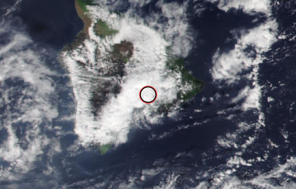
True color from the VIIRS instrument on the NOAA-20 satellite. Red dots mark heat the satellite detected, such as lava or fires. The ring marks where the event was reported. Pictures: NASA Worldview (GIBS) from the daily satellite passes; clouds can hide the ground on some days.
Latest from the observatory
Overview: The summit eruption of Kīlauea in Halemaʻumaʻu is paused following lava fountaining in episode 55 on October 17, 2026. Summit tiltmeter data showed re-inflation began immediately following the end of episode 55. In the last 24 hours, summit tilt has been mostly flat with slight deflation this morning. Assuming magma chamber inflation has returned to the pattern established in the past, the forecast for episode 56 fountaining to occur is between October 31 and November 6, 2026. Summit Observations: Continuous moderate-to-strong glow was observed overnight from the west vent and weak glow from the north vent within Halema'uma'u. No glow was visible from the south vent, which was covered in a layer of tephra during episode 55. Continuous, low-level seismic tremor continued over the past day with occasional pulses of stronger seismic tremor. These types of seismic signals are both typical during inter-episode pauses. Three earthquakes were recorded in the summit area in the past 24 hours. Over the past day, summit tilt has been mostly flat with slight deflation this morning. The UWD tiltmeter has recovered a total of 13.2 microradians of inflationary tilt since the end of episode 55. Deflationary tilt measured at a summit tiltmeter at Uēkahuna (UWD) totaled 21 microradians during episode 55. Post-fountaining tilt patterns have been similar to those seen prior to episode 54. During inter-episode pauses, the sulfur dioxide (SO 2 ) emission rate from the summit typically varies between 1,000 to 5,000 tonnes per day. Winds are forecast to be light from the northeast, which will push the gas plume to the southwest over the Kaʻū Desert today. Rift Zone Observations: Rates of seismicity and ground deformation remain low in the East Rift Zone and Southwest Rift Zone. SO 2
About Kilauea
More Information: Kīlauea activity summary also available by phone: (808) 967-8862 Kīlauea webcam images: https://www.usgs.gov/volcanoes/kilauea/webcams Kīlauea photos/video: https://www.usgs.gov/volcanoes/kilauea/photo-and-video-chronology Kīlauea lava-flow maps: https://www.usgs.gov/volcanoes/kilauea/maps Kīlauea FAQs: https://www.usgs.gov/volcanoes/kilauea/faqs
How U.S. volcano alerts work
| Alert level | Color code | Meaning |
|---|---|---|
| Normal | Green | Typical background, non-eruptive activity. |
| Advisory | Yellow | Elevated unrest above known background levels. |
| Watch | Orange | Heightened unrest with a greater chance of eruption, or a minor eruption under way. |
| Warning | Red | A hazardous eruption is imminent, under way or suspected. |
The alert level speaks to people on the ground; the color code to aircraft, since volcanic ash can stop jet engines.
Did you know?
Volcanic gases. Volcanoes release gases such as water vapor, carbon dioxide and sulfur dioxide. Sulfur dioxide can form haze called vog.
Official updates: USGS notice · USGS Volcano Hazards Program.
More: every volcano page · all events
More from around the world
- Soyuz 2.1b launch: Progress MS-36Nov 24, 2026
- Falcon 9 Block 5 launch: NROL-195Nov 5, 2026
- Falcon 9 Block 5 launch: Starlink Group 15-21Nov 5, 2026
- Asteroid 2025 UK9 flies past EarthOct 31, 2026
- GSLV Mk. II launch: IRNSS-1LOct 30, 2026
- Falcon 9 Block 5 launch: Starlink Group 15-18Oct 30, 2026
- Falcon 9 Block 5 launch: Starlink Group 15-16Oct 27, 2026
- Tropical Storm VanceOct 26, 2026