Iceberg B22K
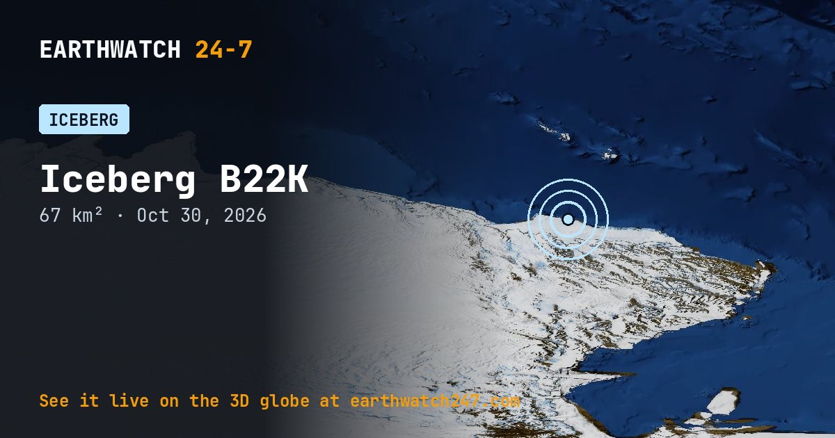
Iceberg B22K is at 69.8°S, 163.3°E as of October 30, 2026, with an area of about 67 km² (26 square miles), about the size of Manhattan. Antarctic icebergs are named by the U.S. National Ice Center for the quadrant where they broke away (A to D) and numbered in order.
Seen from space
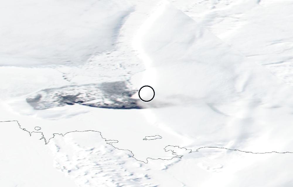
True color from the VIIRS instrument on the NOAA-20 satellite. The ring marks where the event was reported. Pictures: NASA Worldview (GIBS) from the daily satellite passes; clouds can hide the ground on some days.
Where icebergs come from
The giant tabular icebergs around Antarctica break off the floating ice shelves at the edge of the ice sheet, a natural part of the shelves’ life cycle. Ocean currents carry them around the continent for years as they slowly melt and break apart; the National Ice Center tracks every one at least 10 nautical miles long.
Data: U.S. National Ice Center via NASA EONET.
More: every iceberg page · all events
More from around the world
- Iceberg A83Oct 30, 2026
- Iceberg A84Oct 30, 2026
- Iceberg A85Oct 30, 2026
- M4.7 earthquake near Delta, B.C., MXNov 3, 2026
- M5.2 earthquake in the Mid-Indian RidgeNov 3, 2026
- Tornado Warning: Bossier, LA and Caddo, LANov 3, 2026
- Tornado Warning: Caddo, LANov 3, 2026
- Mir launch: Demo FlightNov 4, 2026