Typhoon In-fa
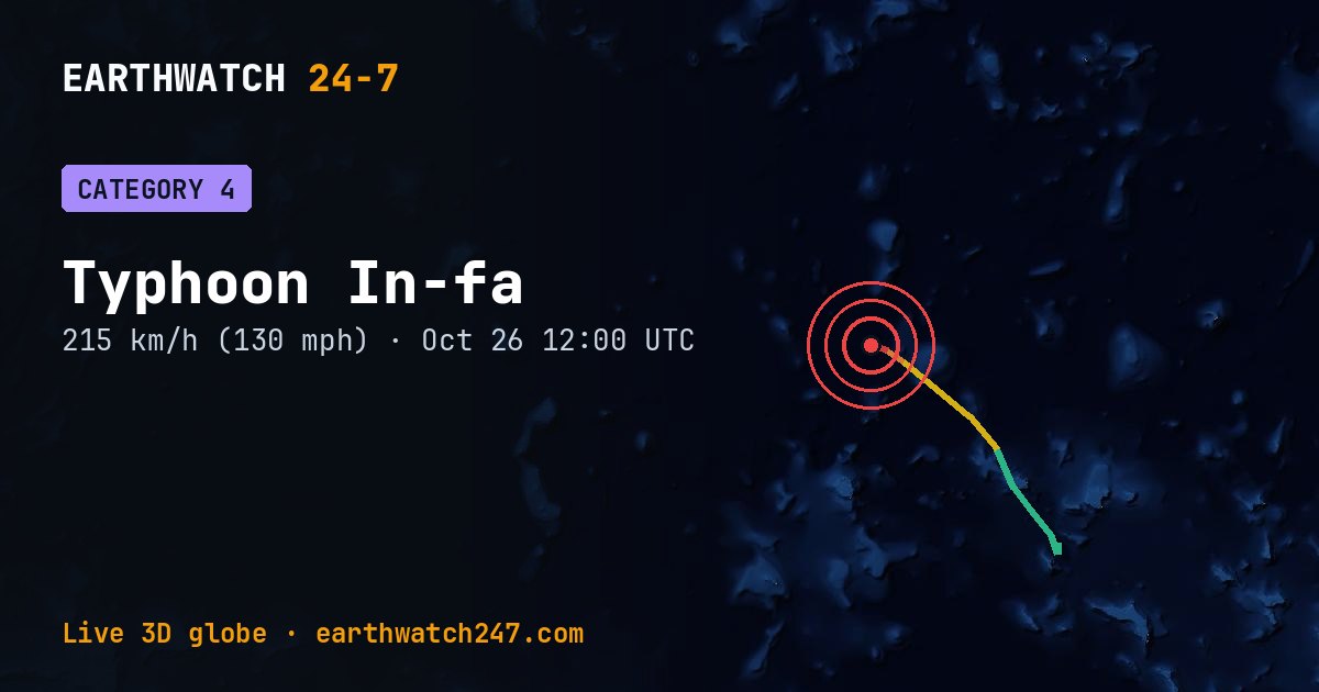
As of October 26 at 12:00 UTC, Typhoon In-fa is over open water at 14.1°N, 162.7°E, with maximum sustained winds of 115 knots (130 mph, 215 km/h), a Category 4 storm on the Saffir-Simpson scale.
It has traveled about 598 km (372 mi) since NASA began tracking it on October 23, and its strongest winds so far were 115 knots (130 mph, 215 km/h) on October 26.
Video coverage

Intensity so far
Who could be affected
GDACS rates it a GREEN alert: limited humanitarian impact expected.
It estimates about 4 people live where tropical-storm-force winds (39 mph, 63 km/h or more) may reach.
GDACS report. Source: GDACS, the Global Disaster Alert and Coordination System of the United Nations and the European Commission (CC BY 4.0).
Seen from space
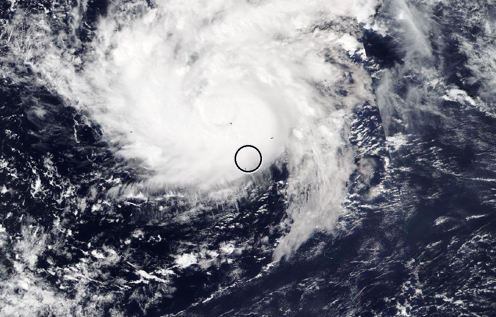
True color from the VIIRS instrument on the NOAA-20 satellite. The ring marks where the event was reported. Pictures: NASA Worldview (GIBS) from the daily satellite passes; clouds can hide the ground on some days.
The Saffir-Simpson scale
Hurricanes are rated 1 to 5 by their strongest sustained winds; In-fa is a Category 4 now.
| Category | Winds | Damage | |
|---|---|---|---|
| 1 | 74–95 mph | 119–153 km/h | Very dangerous winds will produce some damage |
| 2 | 96–110 mph | 154–177 km/h | Extremely dangerous winds will cause extensive damage |
| 3 | 111–129 mph | 178–208 km/h | Devastating damage will occur (a major hurricane) |
| 4 | 130–156 mph | 209–251 km/h | Catastrophic damage will occur |
| 5 | 157 mph or higher | 252 km/h or higher | Catastrophic damage; most of the area uninhabitable for weeks or months |
Hurricane, typhoon or cyclone?
They are the same kind of storm: a spinning, warm-core system that feeds on warm ocean water. Over the North Atlantic and the eastern and central North Pacific it’s a hurricane; over the western North Pacific a typhoon; over the Indian Ocean and the South Pacific a cyclone. Below 39 mph (63 km/h) it’s a tropical depression.
Did you know?
The calm eye. A hurricane's eye is often calm and even clear. The most violent winds are in the eyewall surrounding it.
For official forecasts and warnings, follow your national weather service (in the U.S., the National Hurricane Center).
More: every tropical storm · all events
More from around the world
- Soyuz 2.1b launch: Progress MS-36Nov 24, 2026
- Falcon 9 Block 5 launch: NROL-195Nov 5, 2026
- Falcon 9 Block 5 launch: Starlink Group 15-21Nov 5, 2026
- Asteroid 2025 UK9 flies past EarthOct 31, 2026
- GSLV Mk. II launch: IRNSS-1LOct 30, 2026
- Falcon 9 Block 5 launch: Starlink Group 15-18Oct 30, 2026
- Falcon 9 Block 5 launch: Starlink Group 15-16Oct 27, 2026
- Tropical Storm VanceOct 26, 2026