Wildfire near Mzimba, Malawi
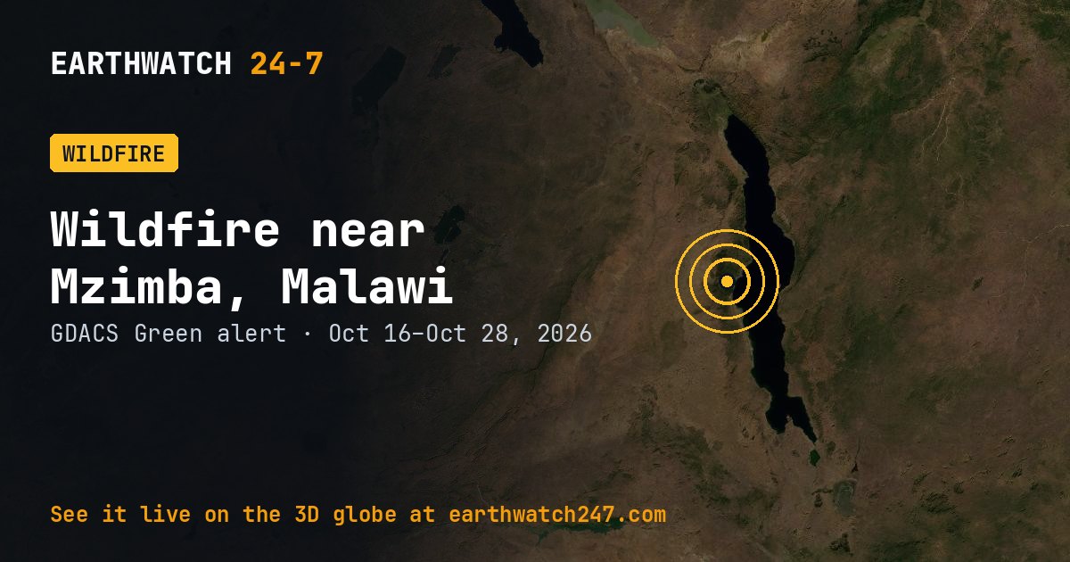
GDACS has tracked this wildfire near Mzimba, Malawi since October 16, 2026, 12 days as of its latest update on October 28. It carries a GREEN alert: limited humanitarian impact expected. Satellites put the burned area at 63,696 acres (25,777 hectares, 258 km²), roughly 4.4 times the size of Manhattan, or about 48,255 American football fields.
How the size is measured
GDACS estimates burned areas from satellite data, so the figures cover the whole fire complex and may include several fires burning close together.
Seen from space
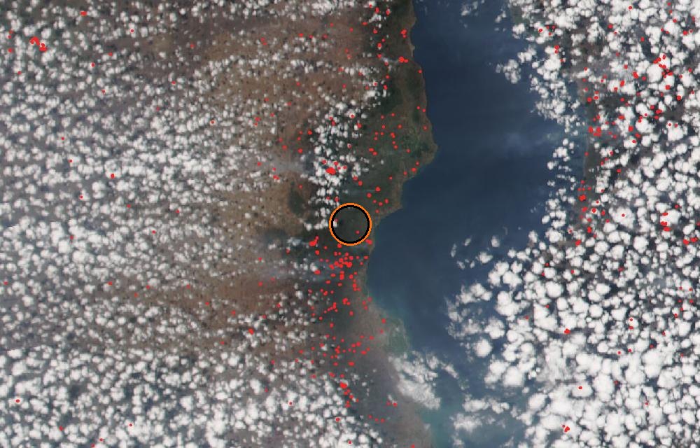
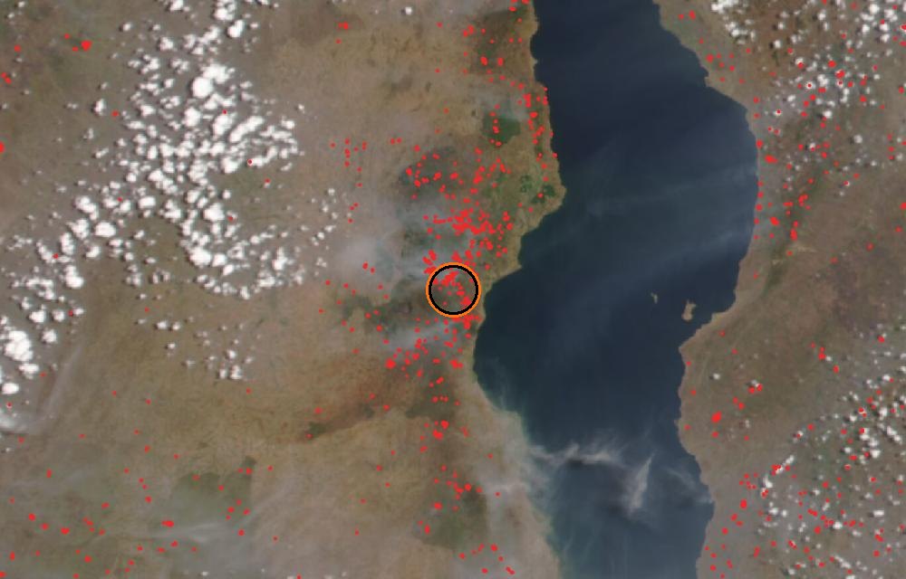
True color from the VIIRS instrument on the NOAA-20 satellite. Red dots are fires detected by their heat; smoke shows as gray-brown haze. The ring marks where the event was reported. Pictures: NASA Worldview (GIBS) from the daily satellite passes; clouds can hide the ground on some days.
GDACS report. Source: GDACS, the Global Disaster Alert and Coordination System of the United Nations and the European Commission (CC BY 4.0).
More: every wildfire page · all events
More from around the world
- Wildfire near Halls Creek, AustraliaOct 23, 2026
- Bee Haven (2) (24-06) Fire, FloridaOct 22, 2026
- Wildfire near Derby, AustraliaOct 22, 2026
- Tropical Storm VanceOct 29, 2026
- M5.1 earthquake near Bamboo Flat, IndiaOct 29, 2026
- M4.6 earthquake near Mosteiros, PortugalOct 29, 2026
- Asteroid 2026 UE2 flies past EarthOct 29, 2026
- GSLV Mk. II launch: IRNSS-1LOct 30, 2026