Flood near Cotabato, Philippines
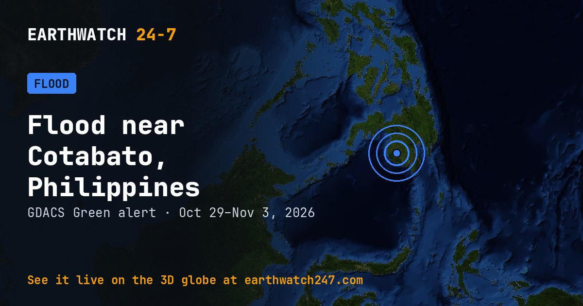
GDACS has tracked this flood near Cotabato, Philippines since October 29, 2026, 5 days as of its latest update on November 3. It carries a GREEN alert: limited humanitarian impact expected.
Reported impacts
- Death · Pagatpat2
- Affected · Philippines710
Detected by GLOFAS (the Global Flood Awareness System of the EU Copernicus programme).
Why floods happen
River floods build over days as heavy rain or snowmelt fills a basin faster than its rivers can drain it; flash floods strike within hours of intense rain. Floods affect more people worldwide than any other natural hazard.
Seen from space
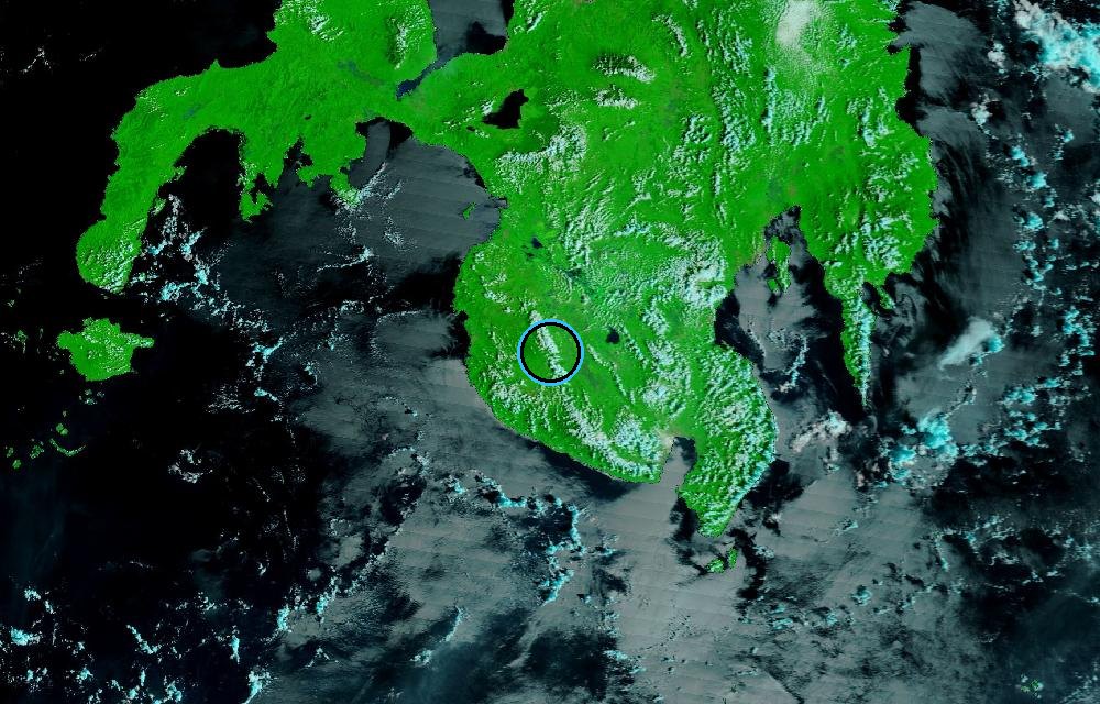
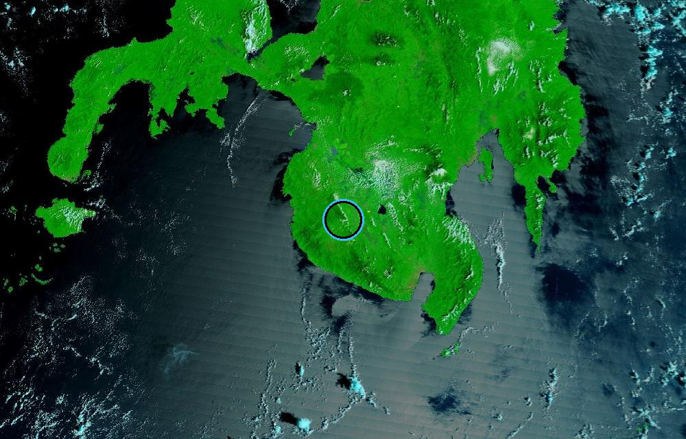
False color from MODIS on NASA’s Terra satellite (bands 7-2-1), which makes water stand out: rivers, lakes and flooded land are dark blue, vegetation is bright green, bare ground is brown, and clouds are pale cyan. The ring marks where the event was reported. Pictures: NASA Worldview (GIBS) from the daily satellite passes; clouds can hide the ground on some days.
GDACS report. Source: GDACS, the Global Disaster Alert and Coordination System of the United Nations and the European Commission (CC BY 4.0).
More: floods and droughts · all events
More from around the world
- Flood near Punakha, BhutanOct 29, 2026
- Flood near Constanta, RomaniaOct 27, 2026
- Flood near Beer Sheva, IsraelOct 27, 2026
- M4.7 earthquake near Petropavlovsk-Kamchatsky, RussiaNov 3, 2026
- Kinetica 2 launched SpaceSail Polar Group #17Nov 3, 2026
- Kilauea volcanoNov 3, 2026
- Tornado Warning: Cotton, OK, Tillman, OK and Wichita, TXNov 2, 2026
- Mir launch: Demo FlightNov 4, 2026