201W Fire, Mississippi
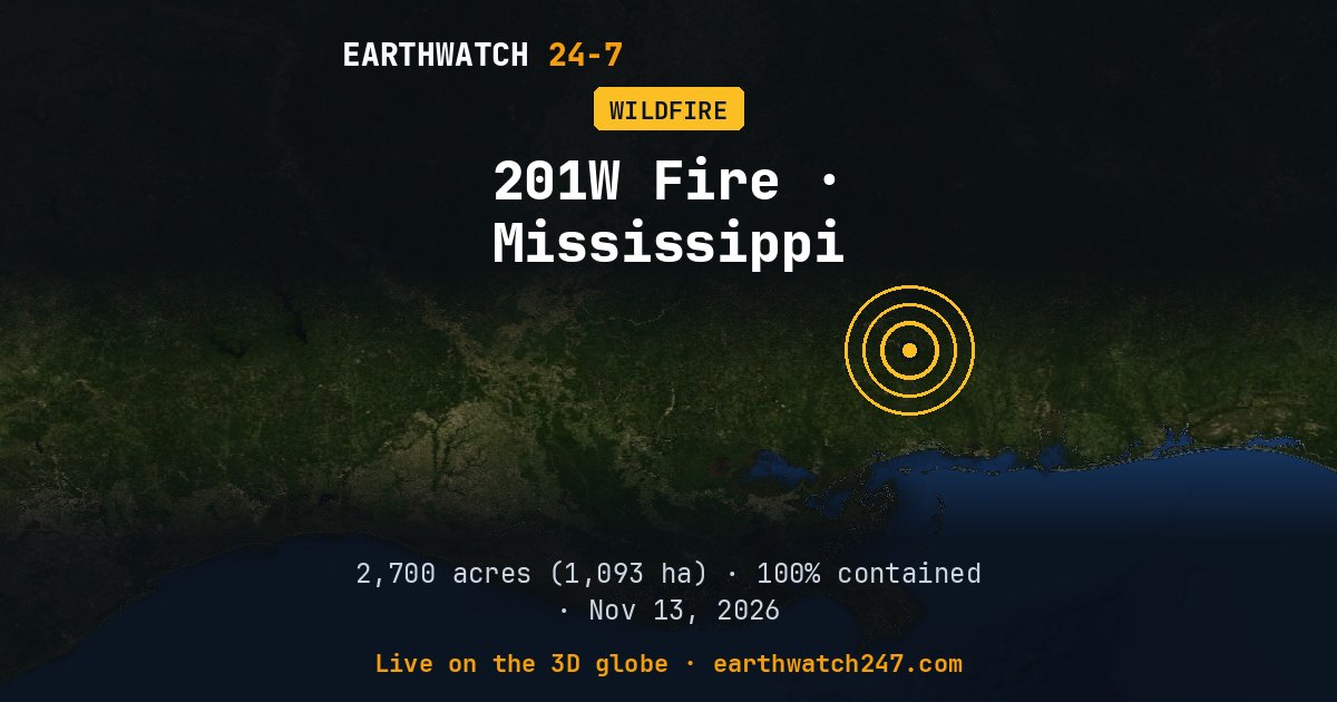
The 201W Fire burned in Perry County, Mississippi, about 7 miles (11 km) southwest of New Augusta, MS. NASA began tracking it on November 13, 2026. Its latest size is 2,700 acres (1,093 hectares, 11 km²), about 18 percent the size of Manhattan, or about 2,045 American football fields. NASA stopped tracking it after November 13.
Containment and crews
According to the national interagency fire record, it is 100 percent contained, fully under control, with 17 firefighters and support staff assigned.
Its cause has not been determined yet.
Fire behavior reported: minimal.
It was fully contained on November 17, 2026.
Fire size and location from NASA EONET and the National Interagency Fire Center’s incident records (IRWIN, WFIGS). For evacuations and closures, follow local officials and InciWeb.
More: every wildfire page · all events
More from around the world
- Wildfire about 504 km (313 mi) northwest of KaltukatjaraNov 16, 2026
- Wildfire about 208 km (129 mi) south of DerbyNov 15, 2026
- Wildfire about 127 km (79 mi) south of BroomeNov 14, 2026
- M6.7 earthquake near Carhuamayo, PeruNov 21, 2026
- M4.9 earthquake near Pangai, TongaNov 20, 2026
- Tornado Warning: San Benito, CANov 20, 2026
- Tornado Warning: Merced, CANov 20, 2026
- Long March 6C launch: undisclosed payloadNov 21, 2026