Tornado Warning: Dickens, Texas, Kent, Texas, King, Texas and Stonewall, Texas
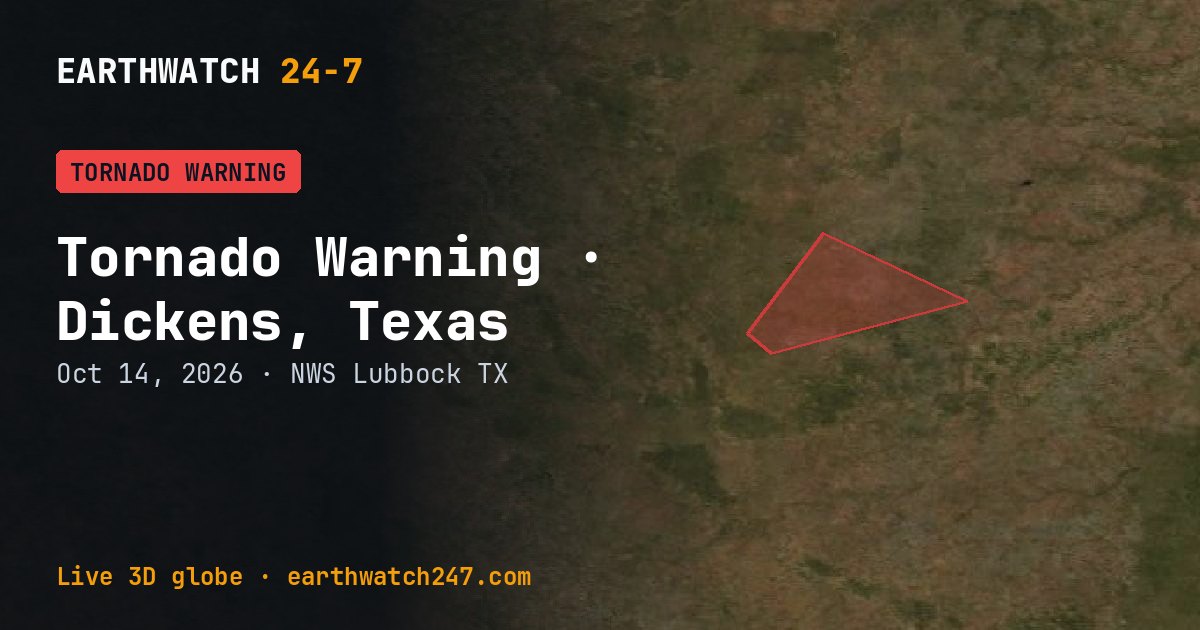
The National Weather Service office in Lubbock, Texas issued a Tornado Warning for Dickens, Texas, Kent, Texas, King, Texas and Stonewall, Texas on Wednesday, October 14, 2026. It has expired.
What the Weather Service said
TORLUB The National Weather Service in Lubbock Texas has issued a * Tornado Warning for... Northeastern Kent County in northwestern Texas... Southeastern Dickens County in northwestern Texas... Southern King County in northwestern Texas... Northwestern Stonewall County in northwestern Texas... * Until 630 PM CDT. * At 604 PM CDT, a severe thunderstorm capable of producing a tornado was located 13 miles northeast of Girard, or 14 miles southwest of Guthrie, moving northeast at 40 mph. HAZARD...Tornado and quarter size hail. SOURCE...Radar indicated rotation. IMPACT...Flying debris will be dangerous to those caught without shelter. Mobile homes will be damaged or destroyed. Damage to roofs, windows, and vehicles will occur. Tree damage is likely. * This tornadic thunderstorm will remain over mainly rural areas of northeastern Kent, southeastern Dickens, southern King and northwestern Stonewall Counties.
What to do
TAKE COVER NOW! Move to a basement or an interior room on the lowest floor of a sturdy building. Avoid windows. If you are outdoors, in a mobile home, or in a vehicle, move to the closest substantial shelter and protect yourself from flying debris. Torrential rainfall is occurring with this storm, and may lead to flash flooding. Do not drive your vehicle through flooded roadways.
What a tornado warning means
A tornado has been seen or is indicated by weather radar. Move to a basement or an interior room on the lowest floor, away from windows. Mobile homes are not safe.
Watch or warning?
A watch means conditions are right for a hazard to develop: be prepared. A warning means it is happening or about to happen: take action now. Advisories are for less serious hazards that still call for caution.
Did you know?
Wind chill and heat index. Wind chill is how cold it feels when wind is added to cold air; the heat index is how hot it feels with humidity.
Official, current information: weather.gov forecast for this area · Storm Prediction Center. See every U.S. warning that day.
More: U.S. weather warnings · all events
More from around the world
- Asteroid 2025 UK9 flies past EarthOct 31, 2026
- Asteroid 2026 TP6 flies past EarthOct 15, 2026
- Tornado Warning: Kent, TexasOct 14, 2026
- Tornado Warning: Kent, TexasOct 14, 2026
- Hurricane SimonOct 14, 2026
- Tropical Storm TrudyOct 14, 2026
- Kilauea volcanoOct 14, 2026
- Great Sitkin volcanoOct 14, 2026