Flood near Bandar Seri Begawan, Malaysia
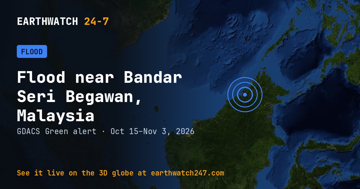
GDACS has tracked this flood near Bandar Seri Begawan, Malaysia since October 15, 2026, 19 days as of its latest update on November 3. It carries a GREEN alert: limited humanitarian impact expected.
Reported impacts
- Displaced · Perak426
- Displaced · Seberang Perai Tengah District36
- Displaced · Kedah26
- Displaced · Raub District21
- Houses damaged · Kedah, Penang1
- Displaced · Pendang16
- Houses damaged · Kedah, Penang20
- Death · Kedah, Penang1
- Displaced · Kedah, Penang65
- Displaced · Kedah, Penang40
Detected by GLOFAS (the Global Flood Awareness System of the EU Copernicus programme).
Why floods happen
River floods build over days as heavy rain or snowmelt fills a basin faster than its rivers can drain it; flash floods strike within hours of intense rain. Floods affect more people worldwide than any other natural hazard.
Seen from space
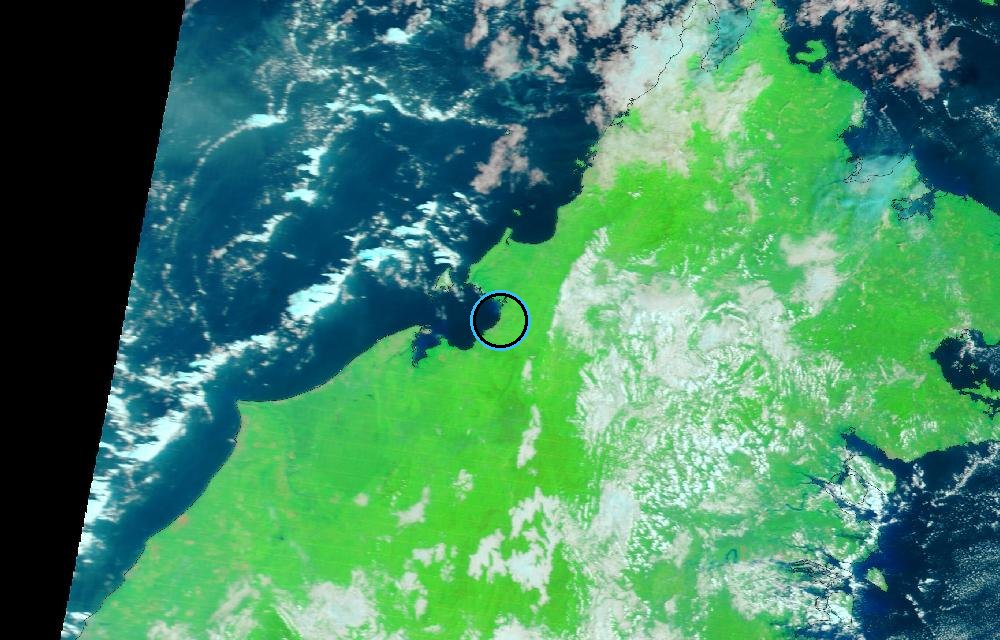
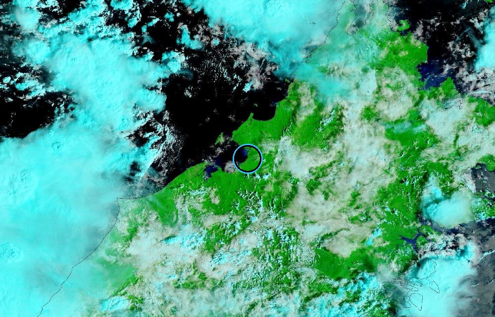
False color from MODIS on NASA’s Terra satellite (bands 7-2-1), which makes water stand out: rivers, lakes and flooded land are dark blue, vegetation is bright green, bare ground is brown, and clouds are pale cyan. The ring marks where the event was reported. Pictures: NASA Worldview (GIBS) from the daily satellite passes; clouds can hide the ground on some days.
GDACS report. Source: GDACS, the Global Disaster Alert and Coordination System of the United Nations and the European Commission (CC BY 4.0).
More: floods and droughts · all events
More from around the world
- Flood near Punakha, BhutanOct 29, 2026
- Flood near Cotabato, PhilippinesOct 29, 2026
- Flood near Constanta, RomaniaOct 27, 2026
- M4.7 earthquake near Petropavlovsk-Kamchatsky, RussiaNov 3, 2026
- Kinetica 2 launched SpaceSail Polar Group #17Nov 3, 2026
- Kilauea volcanoNov 3, 2026
- Tornado Warning: Cotton, OK, Tillman, OK and Wichita, TXNov 2, 2026
- Mir launch: Demo FlightNov 4, 2026