WILDFIRE
Wildfire near Derby, Australia
Latest update
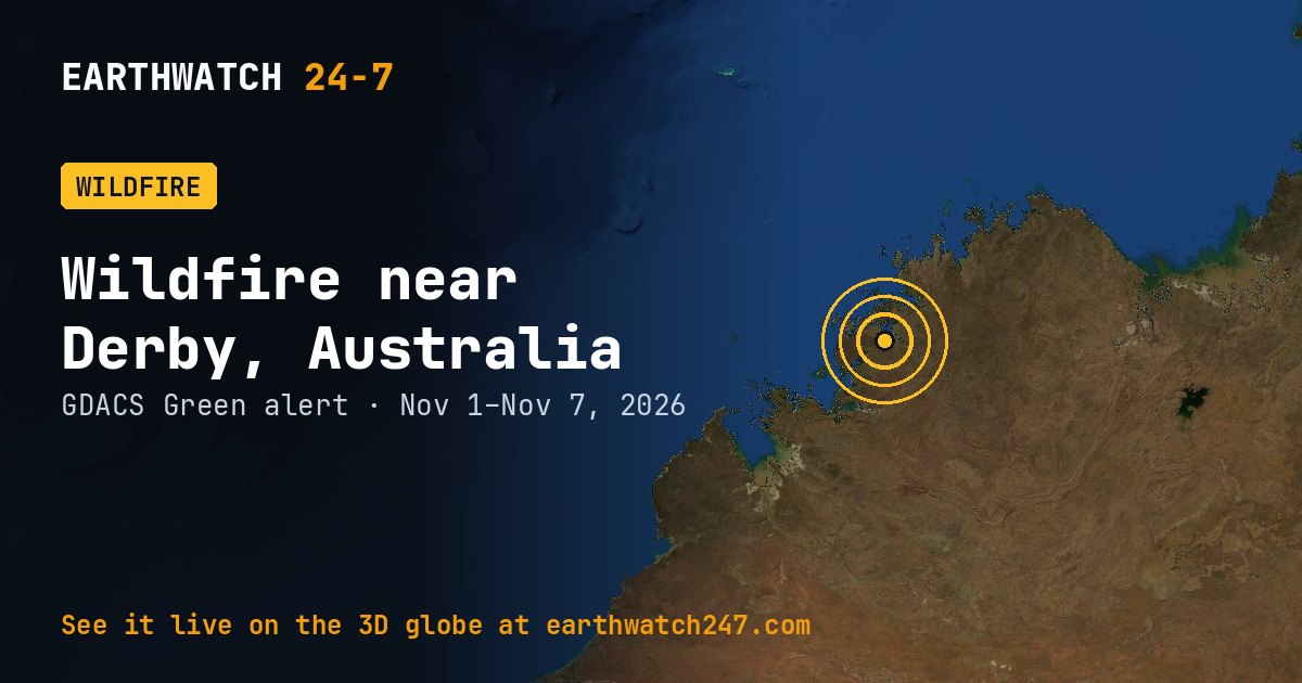
GDACS has tracked this wildfire near Derby, Australia since November 1, 2026, 6 days as of its latest update on November 7. It carries a GREEN alert: limited humanitarian impact expected. Satellites put the burned area at 57,393 acres (23,226 hectares, 232 km²), roughly 3.9 times the size of Manhattan, or about 43,479 American football fields.
TypeWildfire
GDACS alertGreen
CountryAustralia
SinceNov 1, 2026
Tracked for6 days
Burned area23,226 ha · 57,393 acres
How the size is measured
GDACS estimates burned areas from satellite data, so the figures cover the whole fire complex and may include several fires burning close together.
GDACS report. Source: GDACS, the Global Disaster Alert and Coordination System of the United Nations and the European Commission (CC BY 4.0).
More: every wildfire page · all events
More from around the world
- Wildfire near Broome, AustraliaNov 7, 2026
- Wildfire near Derby, AustraliaNov 7, 2026
- Wildfire near Broome, AustraliaNov 7, 2026
- M5.1 earthquake near Hihifo, TongaNov 7, 2026
- M4.9 earthquake near Gadung, PhilippinesNov 7, 2026
- Great Sitkin volcanoNov 7, 2026
- Kilauea volcanoNov 7, 2026
- Long March 12 launch: SatNet LEO GroupNov 8, 2026