M4.7 earthquake in the south of the Fiji Islands
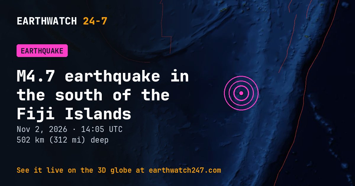
A magnitude 4.7 earthquake struck in the south of the Fiji Islands on Monday, November 2, 2026 at 14:05 UTC, at a depth of 502 km (312 mi), according to the U.S. Geological Survey. Quakes this deep are usually felt widely but rarely cause damage. It struck far from land: no town on our map lies within 600 km (373 mi). The nearest city of a million or more people is Auckland, about 1,332 km (828 mi) away.
Why here?
This earthquake struck 502 km (312 mi) down, about 344 km (214 mi) from the nearest plate boundary on the surface. Quakes this deep happen inside old ocean plate that has sunk far into the mantle at a subduction zone, long after it dove beneath its neighbor. Their great depth spreads the shaking over a wide area but usually keeps it gentle at the surface.
The red lines on the map are plate boundaries.
How strong was it?
Magnitude is logarithmic: each whole step releases about 32 times more energy. This magnitude 4.7 released roughly the energy of 169 tons of TNT. That is about 11 times the energy of a magnitude 4.0, a quake people nearby feel but that rarely causes damage. The strongest earthquake ever recorded, magnitude 9.5 in Chile in 1960, released about 16,000,000 times more than this one.
Earthquake history here
Before this earthquake, USGS had recorded 76 earthquakes of magnitude 6 or larger within 300 km (186 mi) since 1900. The strongest:
- M7.8 · south of the Fiji IslandsDecember 9, 2007
- M7.7 · south of the Fiji IslandsAugust 19, 2002
- M7.2 · south of the Fiji IslandsMarch 30, 1972
Official details, updates and the shaking map: USGS event page.
See every earthquake on November 2, 2026 or earthquakes by day.
More from around the world
- M4.7 earthquake near Palekastro, GreeceNov 2, 2026
- M4.7 earthquake near Basco, PhilippinesNov 2, 2026
- M5.1 earthquake near Tomohon, IndonesiaNov 2, 2026
- Flash Flood Warning: Brevard, FLNov 2, 2026
- Typhoon In-faNov 2, 2026
- Tornado Warning: Texas, OKNov 2, 2026
- M4.9 earthquake near Panguna, Papua New GuineaNov 2, 2026
- Electron launch: The Sea God SurveysNov 2, 2026