Flash Flood Warning: Polk, TN
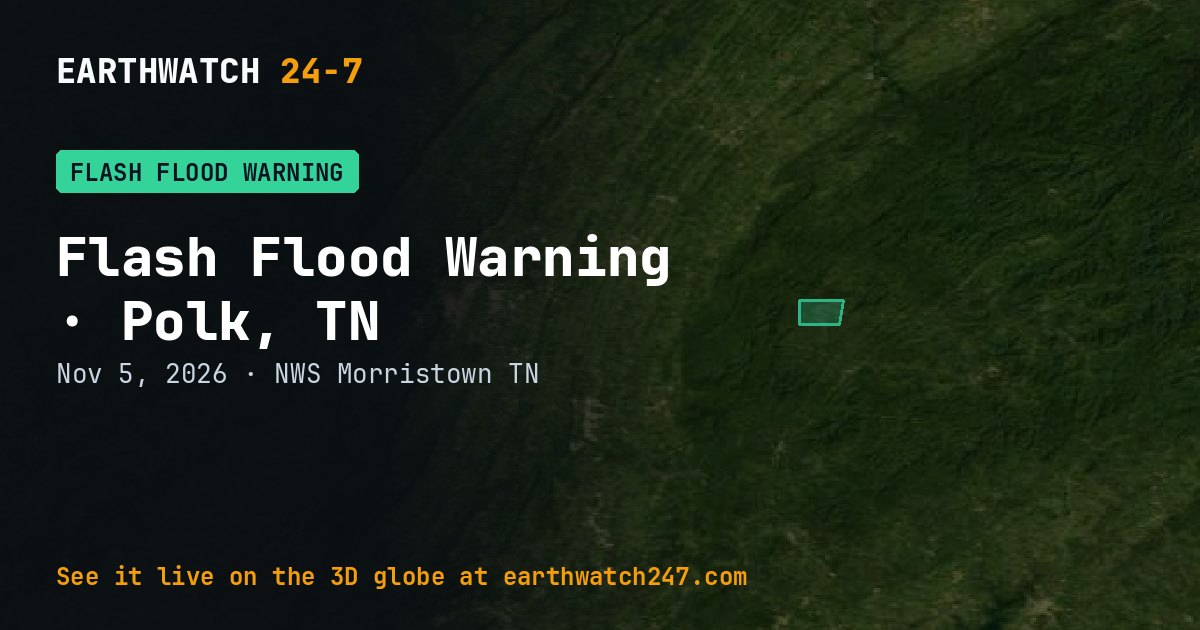
The National Weather Service office in Morristown, TN issued a Flash Flood Warning for Polk, TN on Thursday, November 5, 2026. It is in effect now.
What the Weather Service said
FFWMRX The National Weather Service in Morristown has issued a * Flash Flood Warning for... Southeastern Polk County in east Tennessee... * Until 700 AM EST. * At 358 AM EST, Widespread significant flooding is ongoing with homes and business under water and being evacuated due to runoff along the Ocoee from extreme heavy rainfall in Georgia. Flash flooding is ongoing. FLASH FLOOD EMERGENCY for Copperhill. This is a PARTICULARLY DANGEROUS SITUATION. SEEK HIGHER GROUND NOW! HAZARD...Life threatening flash flooding. Thunderstorms producing flash flooding. SOURCE...Law enforcement reported widespread significant flash flooding and numerous homes and business under water. The Ocoee River has risen to Major Flood Stage and is 3 feet from its all-time peak. IMPACT...This is a PARTICULARLY DANGEROUS SITUATION. SEEK HIGHER GROUND NOW! Life threatening flash flooding of low water crossings, small creeks and streams, urban areas, highways, streets and underpasses. * Some locations that will experience flash flooding include... Ducktown and Copperhill.
What to do
Move to higher ground now! This is an extremely dangerous and life-threatening situation. Do not attempt to travel unless you are fleeing an area subject to flooding or under an evacuation order. Be especially cautious at night when it is harder to recognize the dangers of flooding. Be aware of your surroundings and do not drive on flooded roads.
What a flash flood warning means
Flash flooding is happening or about to happen. Move to higher ground now. Never drive into flooded roads: just 12 inches (30 cm) of moving water can carry away most cars.
Watch or warning?
A watch means conditions are right for a hazard to develop: be prepared. A warning means it is happening or about to happen: take action now. Advisories are for less serious hazards that still call for caution.
Official, current information: weather.gov forecast for this area. See every U.S. warning that day.
More: U.S. weather warnings · all events
More from around the world
- Flash Flood Warning: Fannin, GA and Gilmer, GANov 5, 2026
- Tornado Warning: Bibb, ALNov 4, 2026
- Tornado Warning: Ashley, ARNov 3, 2026
- M5.0 earthquake near Petrolia, CANov 5, 2026
- Typhoon In-faNov 5, 2026
- M4.6 earthquake in the south of the Fiji IslandsNov 4, 2026
- Great Sitkin volcanoNov 4, 2026
- Asteroid 2026 VP1 flies past EarthNov 5, 2026