Tornado Warning: Wayne, NC
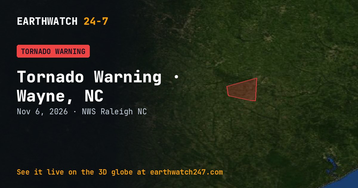
The National Weather Service office in Raleigh, NC issued a Tornado Warning for Wayne, NC on Friday, November 6, 2026. It has expired.
What the Weather Service said
At 211 PM EST, a severe thunderstorm capable of producing a tornado was located 9 miles northwest of Mount Olive, moving east at 25 mph. HAZARD...Tornado. SOURCE...Radar indicated rotation. IMPACT...Flying debris will be dangerous to those caught without shelter. Mobile homes will be damaged or destroyed. Damage to roofs, windows, and vehicles will occur. Tree damage is likely. This dangerous storm will be near... Mount Olive and Mount Olive around 215 PM EST. Other locations impacted by this tornadic thunderstorm include Grantham, Brogden, and Mar-Mac.
What to do
TAKE COVER NOW! Move to a basement or an interior room on the lowest floor of a sturdy building. Avoid windows. If you are outdoors, in a mobile home, or in a vehicle, move to the closest substantial shelter and protect yourself from flying debris.
What a tornado warning means
A tornado has been seen or is indicated by weather radar. Move to a basement or an interior room on the lowest floor, away from windows. Mobile homes are not safe.
Watch or warning?
A watch means conditions are right for a hazard to develop: be prepared. A warning means it is happening or about to happen: take action now. Advisories are for less serious hazards that still call for caution.
Official, current information: weather.gov forecast for this area · Storm Prediction Center. See every U.S. warning that day.
More: U.S. weather warnings · all events
More from around the world
- Tornado Warning: Wayne, NCNov 6, 2026
- Tornado Warning: Sampson, NCNov 6, 2026
- Tornado Warning: Bladen, NCNov 6, 2026
- M5.1 earthquake near Hihifo, TongaNov 7, 2026
- M4.9 earthquake near Gadung, PhilippinesNov 7, 2026
- Great Sitkin volcanoNov 7, 2026
- Kilauea volcanoNov 7, 2026
- Long March 12 launch: SatNet LEO GroupNov 8, 2026