South Tank Trail Fire, Mississippi
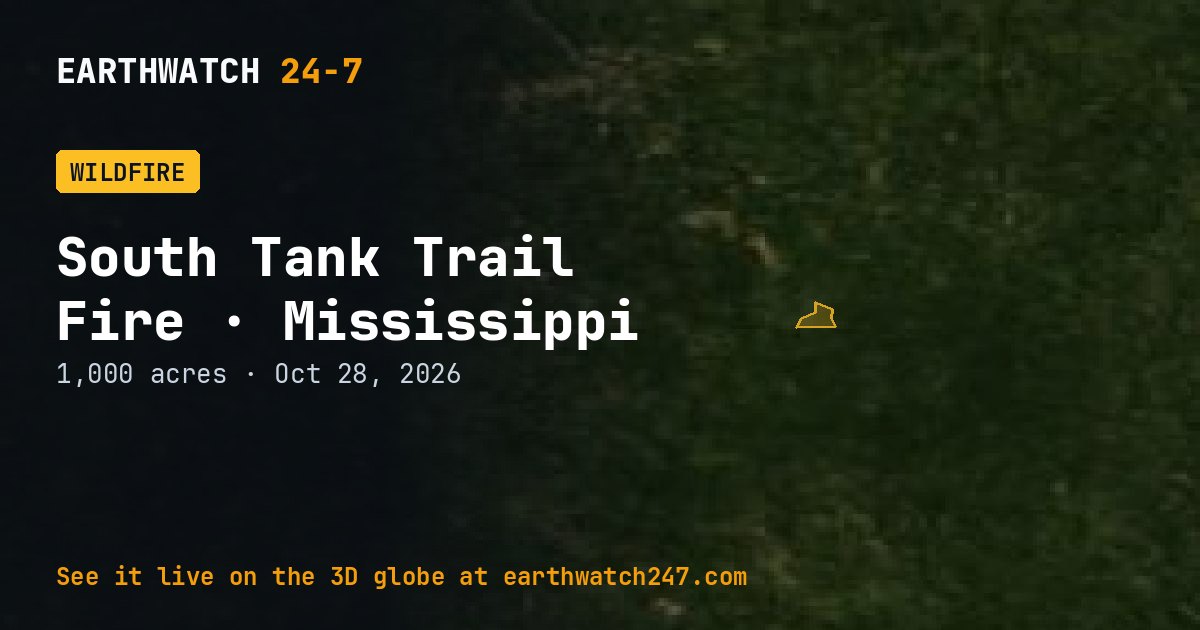
The South Tank Trail Fire is burning in Perry County, Mississippi, about 20 mi (32 km) southeast of Hattiesburg, Mississippi. NASA began tracking it on October 28, 2026. Its latest size is 1,000 acres (405 hectares, 4 km²), about 7 percent the size of Manhattan, or about 758 American football fields.
Containment and crews
Its cause is listed as human.
Seen from space
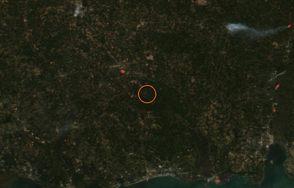
True color from the VIIRS instrument on the NOAA-20 satellite. Red dots are fires detected by their heat; smoke shows as gray-brown haze. The ring marks where the event was reported. Pictures: NASA Worldview (GIBS) from the daily satellite passes; clouds can hide the ground on some days.
Fire size and location from NASA EONET and the National Interagency Fire Center’s incident records (IRWIN, WFIGS). For evacuations and closures, follow local officials and InciWeb.
More: every wildfire page · all events
More from around the world
- Wildfire near Halls Creek, AustraliaOct 23, 2026
- Bee Haven (2) (24-06) Fire, FloridaOct 22, 2026
- Wildfire near Derby, AustraliaOct 22, 2026
- Tropical Storm VanceOct 29, 2026
- M4.7 earthquake near Pitaloza Arriba, PanamaOct 29, 2026
- M4.6 earthquake in Pulau Pulau Tanimbar, IndonesiaOct 29, 2026
- Typhoon In-faOct 29, 2026
- GSLV Mk. II launch: IRNSS-1LOct 30, 2026