Cyclone Murasu
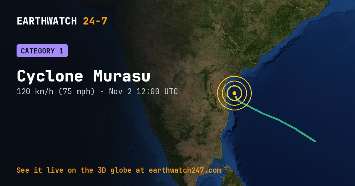
As of November 1 at 00:00 UTC, Cyclone Murasu is over open water at 11.4°N, 86.2°E, with maximum sustained winds of 35 knots (40 mph, 65 km/h).
Who could be affected
GDACS rates it a RED alert: severe impact is likely and international help is probably needed.
GDACS report. Source: GDACS, the Global Disaster Alert and Coordination System of the United Nations and the European Commission (CC BY 4.0).
Seen from space
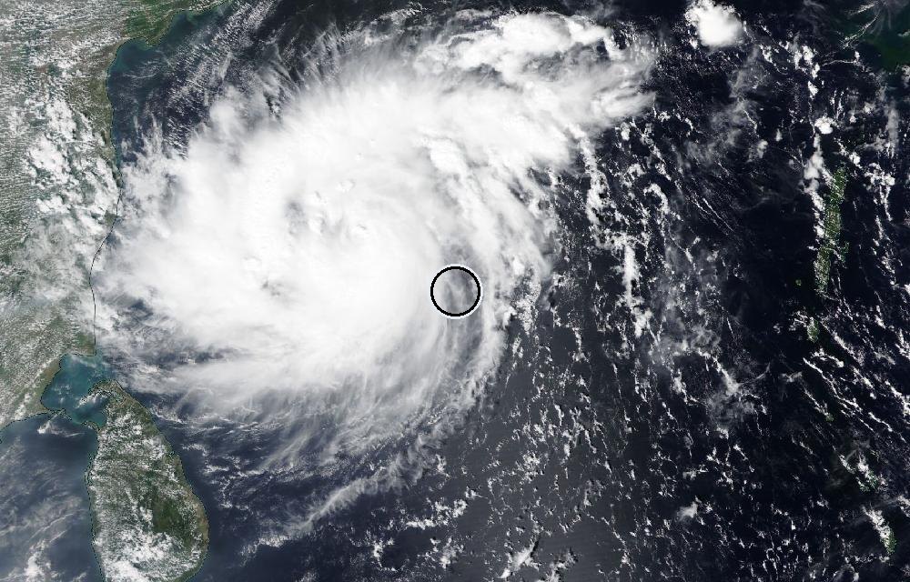
True color from the VIIRS instrument on the NOAA-20 satellite. The ring marks where the event was reported. Pictures: NASA Worldview (GIBS) from the daily satellite passes; clouds can hide the ground on some days.
The Saffir-Simpson scale
Hurricanes are rated 1 to 5 by their strongest sustained winds.
| Category | Winds | Damage | |
|---|---|---|---|
| 1 | 74–95 mph | 119–153 km/h | Very dangerous winds will produce some damage |
| 2 | 96–110 mph | 154–177 km/h | Extremely dangerous winds will cause extensive damage |
| 3 | 111–129 mph | 178–208 km/h | Devastating damage will occur (a major hurricane) |
| 4 | 130–156 mph | 209–251 km/h | Catastrophic damage will occur |
| 5 | 157 mph or higher | 252 km/h or higher | Catastrophic damage; most of the area uninhabitable for weeks or months |
Hurricane, typhoon or cyclone?
They are the same kind of storm: a spinning, warm-core system that feeds on warm ocean water. Over the North Atlantic and the eastern and central North Pacific it’s a hurricane; over the western North Pacific a typhoon; over the Indian Ocean and the South Pacific a cyclone. Below 39 mph (63 km/h) it’s a tropical depression.
For official forecasts and warnings, follow your national weather service (in the U.S., the National Hurricane Center).
More: every tropical storm · all events
More from around the world
- Typhoon In-faNov 2, 2026
- Tropical Depression VanceOct 30, 2026
- Cyclone ArnabOct 28, 2026
- M5.3 earthquake near Palekastro, GreeceNov 2, 2026
- Electron lifted off: The Sea God SurveysNov 2, 2026
- M4.7 earthquake near Nagqu, ChinaNov 2, 2026
- Flash Flood Warning: Brevard, FLNov 2, 2026
- Kinetica 2 launch: SpaceSail Polar GroupNov 3, 2026