M4.8 earthquake near Guayaquil, Ecuador
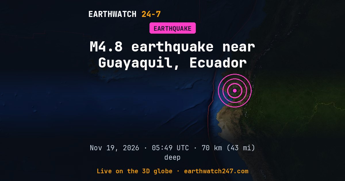
A magnitude 4.8 earthquake struck 23 km (14 mi) south-southeast of Guayaquil, Ecuador on Thursday, November 19, 2026 at 05:49 UTC, at a depth of 70 km (43 mi), according to the U.S. Geological Survey. Shallow quakes like this one shake the surface hardest.
Why here?
This earthquake struck about 30 km (19 mi) from the boundary between the South American and North Andes plates. Most earthquakes happen along plate boundaries like this one, where the pieces of Earth’s outer shell collide, pull apart or grind past each other. Stress builds up over years until the rock suddenly slips.
The red lines on the map are plate boundaries.
Did you feel it?
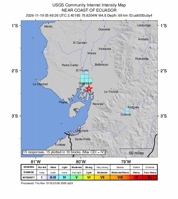
15 people told USGS’s “Did You Feel It?” survey they felt this earthquake; the strongest shaking reported was intensity 4, light.
How strong was it?
Magnitude is logarithmic: each whole step releases about 32 times more energy. This magnitude 4.8 released roughly the energy of 239 tons of TNT. That is about 16 times the energy of a magnitude 4.0, a quake people nearby feel but that rarely causes damage. The strongest earthquake ever recorded, magnitude 9.5 in Chile in 1960, released about 11,000,000 times more than this one.
Aftershocks
In the first 7 hours after it, USGS recorded no smaller earthquakes of magnitude 2.5 or more within 100 km (62 mi).
Outside the United States, USGS mainly lists quakes of about magnitude 4 and up, so smaller aftershocks there are undercounted.
Earthquake history here
Before this earthquake, USGS had recorded 64 earthquakes of magnitude 6 or larger within 300 km (186 mi) since 1900. The strongest:
- M7.8 · 12 km (7 mi) SE of Pedernales, EcuadorMay 14, 1942
- M7.4 · 98 km (61 mi) ESE of Sucúa, EcuadorJuly 27, 1971
- M7.3 · 14 km (9 mi) NNE of Zorritos, PeruDecember 12, 1953
Official details and updates: USGS event page. The shaking map, felt reports and aftershock forecast are USGS’s (public domain).
See every earthquake on November 19, 2026 or earthquakes by day.
More from around the world
- M6.7 earthquake near Carhuamayo, PeruNov 21, 2026
- M4.9 earthquake near Pangai, TongaNov 20, 2026
- M5.1 earthquake near Port-Olry, VanuatuNov 20, 2026
- Tornado Warning: San Benito, CANov 20, 2026
- Tornado Warning: Merced, CANov 20, 2026
- Great Sitkin volcanoNov 20, 2026
- Kilauea volcanoNov 20, 2026
- Long March 6C launch: undisclosed payloadNov 21, 2026