Fuego volcano
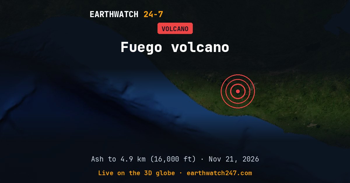
Fuego, in Guatemala, is active. The Washington Volcanic Ash Advisory Center (NOAA) reported an ash cloud up to 4.3 km (14,000 ft) above sea level on . The highest ash cloud reported over the past week reached 4.9 km (16,000 ft) on November 14. The Smithsonian/USGS Weekly Volcanic Activity Report for 12 November-18 November 2026 listed it with continuing eruptive activity, from reports by Instituto Nacional de Sismologia, Vulcanologia, Meteorologia, e Hidrologia (INSIVUMEH).
Ash advisories
Volcanic Ash Advisory Centers warn aircraft about ash clouds, which can stop jet engines. Their latest messages about Fuego, newest first (heights above sea level):
- Ash up to 4.3 km (14,000 ft) · Washington Volcanic Ash Advisory CenterNov 21 12:08 UTC
- Ash up to 4.6 km (15,000 ft) · Washington Volcanic Ash Advisory CenterNov 21 06:14 UTC
- No ash seen · Washington Volcanic Ash Advisory CenterNov 21 00:10 UTC
- Ash up to 4.6 km (15,000 ft) · Washington Volcanic Ash Advisory CenterNov 20 18:13 UTC
- Ash up to 4.6 km (15,000 ft) · Washington Volcanic Ash Advisory CenterNov 20 12:10 UTC
- Ash up to 4.6 km (15,000 ft) · Washington Volcanic Ash Advisory CenterNov 20 06:14 UTC
- No ash seen · Washington Volcanic Ash Advisory CenterNov 20 00:19 UTC
- Ash up to 4.6 km (15,000 ft) · Washington Volcanic Ash Advisory CenterNov 19 18:31 UTC
- Ash up to 4.6 km (15,000 ft) · Washington Volcanic Ash Advisory CenterNov 19 13:03 UTC
- Ash up to 4.6 km (15,000 ft) · Washington Volcanic Ash Advisory CenterNov 19 06:58 UTC
- Ash up to 4.6 km (15,000 ft) · Washington Volcanic Ash Advisory CenterNov 19 00:53 UTC
- Ash up to 4.6 km (15,000 ft) · Washington Volcanic Ash Advisory CenterNov 18 18:54 UTC
Seen from space
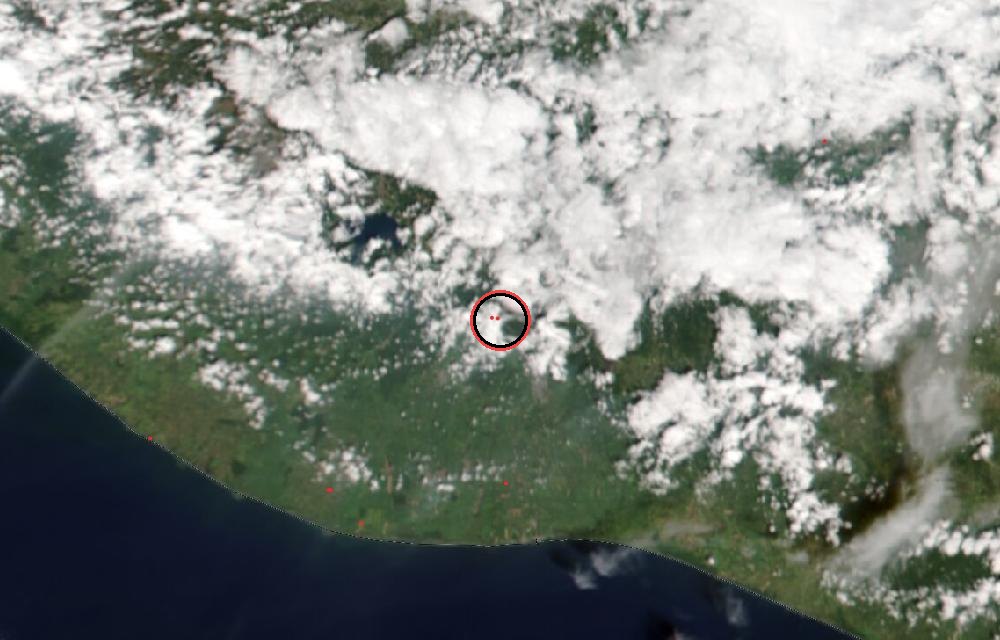
True color from the VIIRS instrument on the NOAA-20 satellite. Red dots mark heat the satellite detected, such as lava or fires. The ring marks where the event was reported. Pictures: NASA Worldview (GIBS) from the daily satellite passes; clouds can hide the ground on some days.
Why ash matters
Volcanic ash is not soft like wood ash: it is tiny shards of rock and glass. It can melt inside jet engines, so flights are routed around it; on the ground it damages lungs, crops, roofs and machinery, and heavy falls can make roads impassable. Advisories describe the cloud for pilots; for people nearby, the national volcano agency is the authority.
Ash advisories: Tokyo VAAC (Japan Meteorological Agency) and Washington VAAC (NOAA). Weekly activity: Smithsonian Institution Global Volcanism Program / USGS Weekly Volcanic Activity Report. For warnings near the volcano, follow the national volcano agency and local authorities.
More: every volcano page · all events
More from around the world
- Great Sitkin volcanoNov 20, 2026
- Kilauea volcanoNov 20, 2026
- Ahyi Seamount volcanoNov 19, 2026
- M5.9 earthquake near Yanglong, ChinaNov 21, 2026
- M5.2 earthquake near Tateyama, JapanNov 21, 2026
- Falcon 9 Block 5 launched USSF-317Nov 21, 2026
- Cyclone XavierNov 21, 2026
- Falcon 9 Block 5 launch: NROL-136Nov 22, 2026