FLOOD · COPERNICUS
Flood in Ecuador
Activated
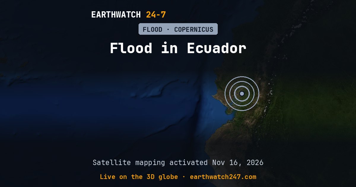
The European Union’s Copernicus Emergency Management Service began satellite mapping for Flood in Ecuador on November 16, 2026, near Milagro. Rapid mapping is activated for major disasters: it delivers maps of flooded areas, burn scars or damage within hours to days, to guide rescue and relief.
TypeFlood
ActivationEMSR936
ActivatedNov 16, 2026
The maps and reports: Copernicus EMS activation EMSR936 (© European Union, Copernicus EMS).
More: floods, droughts and disasters · all events
More from around the world
- Flood in Alicante-Valencia Regions, SpainOct 19, 2026
- M6.7 earthquake near Carhuamayo, PeruNov 21, 2026
- M4.9 earthquake near Pangai, TongaNov 20, 2026
- Tornado Warning: San Benito, CANov 20, 2026
- Tornado Warning: Merced, CANov 20, 2026
- Great Sitkin volcanoNov 20, 2026
- Kilauea volcanoNov 20, 2026
- Long March 6C launch: undisclosed payloadNov 21, 2026