Popocatepetl volcano
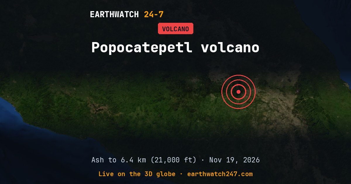
Popocatepetl, in Mexico, is active. The Washington Volcanic Ash Advisory Center (NOAA) issued an advisory for possible ash, though none could be identified in satellite pictures on , and said it expects no further advisories for now. The highest ash cloud reported over the past week reached 6.4 km (21,000 ft) on November 16.
Ash advisories
Volcanic Ash Advisory Centers warn aircraft about ash clouds, which can stop jet engines. Their latest messages about Popocatepetl, newest first (heights above sea level):
- No ash seen · Washington Volcanic Ash Advisory CenterNov 19 10:09 UTC
- No ash seen · Washington Volcanic Ash Advisory CenterNov 19 04:12 UTC
- No ash seen · Washington Volcanic Ash Advisory CenterNov 18 22:10 UTC
- Ash up to 5.5 km (18,000 ft) · Washington Volcanic Ash Advisory CenterNov 18 16:12 UTC
- Ash up to 5.8 km (19,000 ft) · Washington Volcanic Ash Advisory CenterNov 18 15:05 UTC
- No ash seen · Washington Volcanic Ash Advisory CenterNov 18 11:48 UTC
- No ash seen · Washington Volcanic Ash Advisory CenterNov 18 06:03 UTC
- No ash seen · Washington Volcanic Ash Advisory CenterNov 18 00:09 UTC
- No ash seen · Washington Volcanic Ash Advisory CenterNov 17 18:08 UTC
- Ash up to 6.1 km (20,000 ft) · Washington Volcanic Ash Advisory CenterNov 17 12:20 UTC
- Ash up to 6.1 km (20,000 ft) · Washington Volcanic Ash Advisory CenterNov 17 06:39 UTC
- No ash seen · Washington Volcanic Ash Advisory CenterNov 16 15:55 UTC
Seen from space
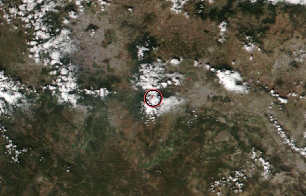
True color from the VIIRS instrument on the NOAA-20 satellite. Red dots mark heat the satellite detected, such as lava or fires. The ring marks where the event was reported. Pictures: NASA Worldview (GIBS) from the daily satellite passes; clouds can hide the ground on some days.
Why ash matters
Volcanic ash is not soft like wood ash: it is tiny shards of rock and glass. It can melt inside jet engines, so flights are routed around it; on the ground it damages lungs, crops, roofs and machinery, and heavy falls can make roads impassable. Advisories describe the cloud for pilots; for people nearby, the national volcano agency is the authority.
Ash advisories: Tokyo VAAC (Japan Meteorological Agency) and Washington VAAC (NOAA). For warnings near the volcano, follow the national volcano agency and local authorities.
More: every volcano page · all events
More from around the world
- Great Sitkin volcanoNov 20, 2026
- Kilauea volcanoNov 20, 2026
- Ahyi Seamount volcanoNov 19, 2026
- M6.7 earthquake near Carhuamayo, PeruNov 21, 2026
- M4.9 earthquake near Pangai, TongaNov 20, 2026
- Tornado Warning: San Benito, CANov 20, 2026
- Tornado Warning: Merced, CANov 20, 2026
- Long March 6C launch: undisclosed payloadNov 21, 2026